Using the Search tool
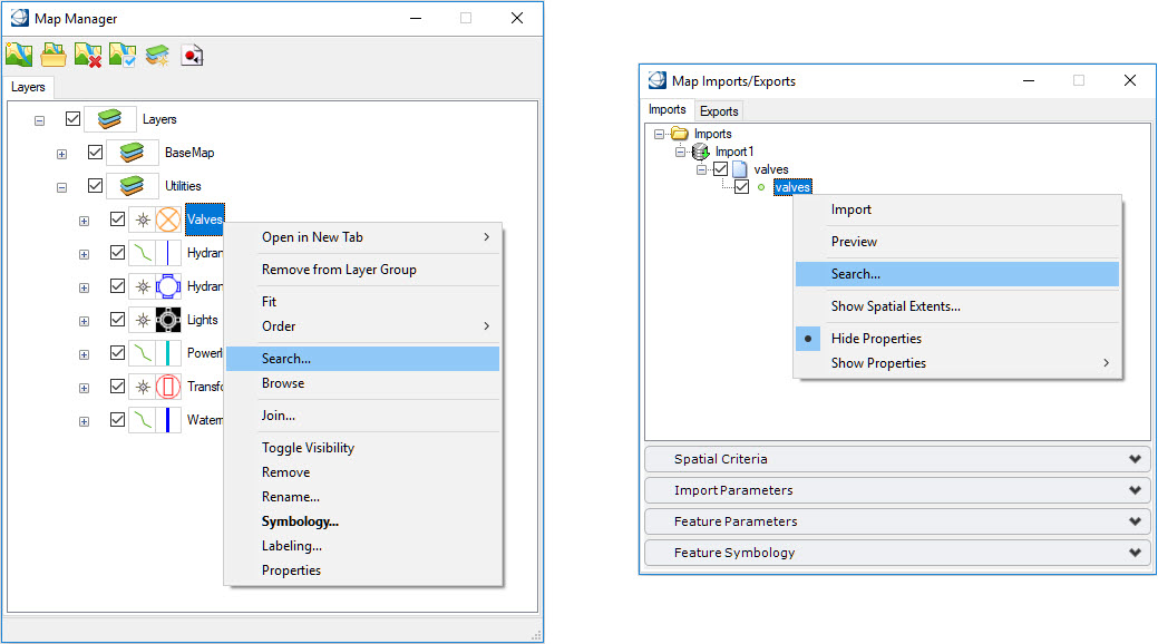
The Search tool is used to locate feature instances based on certain criteria. It can be invoked from a feature class selection in the Map Manager or from the Map Imports/Exports dialog.
You select the feature class to be queried and then the various property criteria. Spatial constraints (view and fence) can also be selected. When the OK button is pressed, the query is performed. The query results are populated in the Data Browser where they can be sorted, located, and reported.
Selecting the Search option opens the Advanced Search dialog. This dialog is used to define a search criterion that can be applied against the properties of the selected feature class. This dialog defines the class being queried as well as the various criteria and sorting options. Criteria can include property queries as well as spatial queries. Searches can be saved to an ecquery.xml file for re-use.
